
FAQs
What is an Outline Plan?
Outline plans are created by private developers but include more detailed information than an area structure plan (ASP). This type of plan establishes how a smaller area within the ASP boundary will be developed.
An outline plan establishes details like land use districts, the precise location and classification of streets, and the distribution and size of the parks and school sites in the neighborhood.
To learn more about the land development process in Medicine Hat, visit:
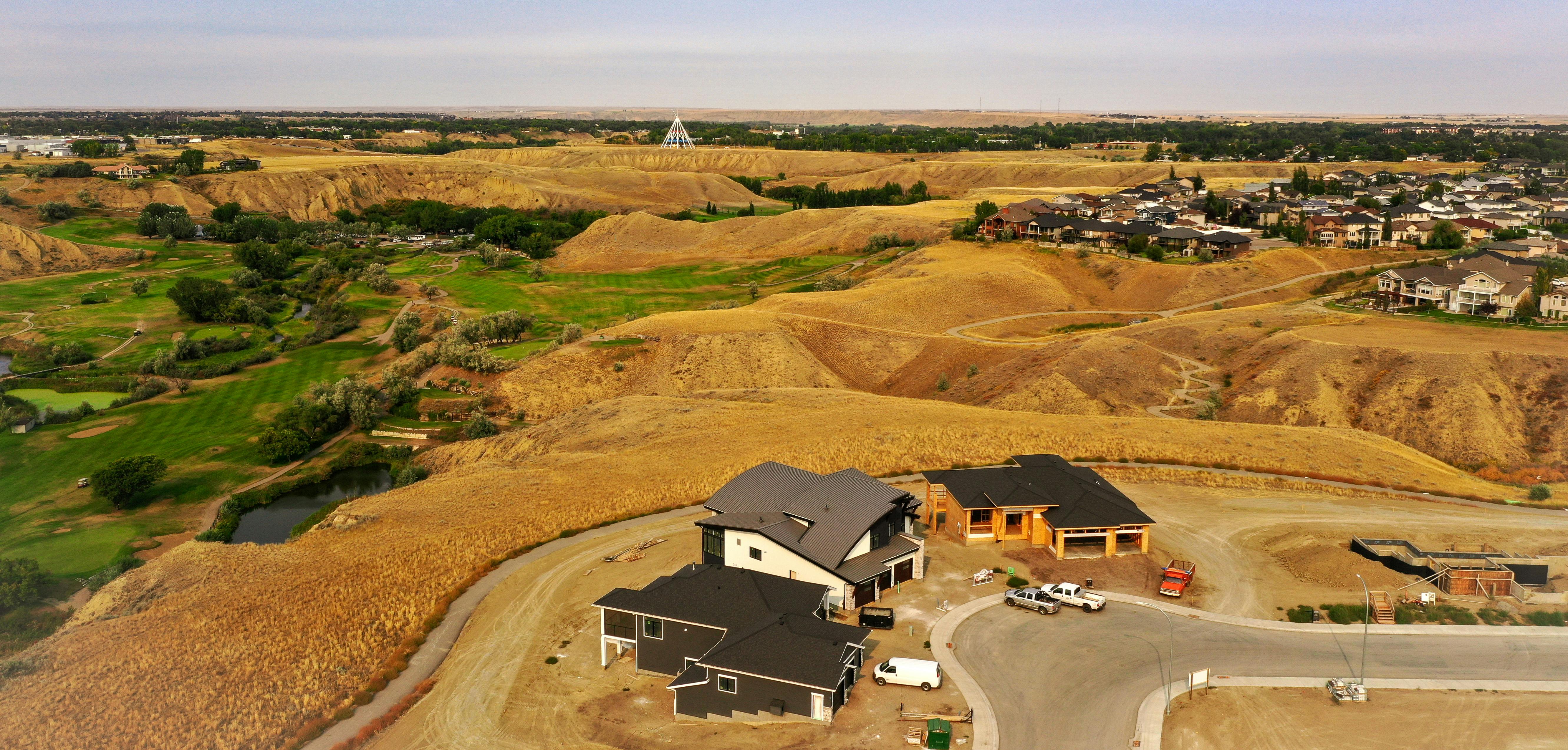
What is the purpose of the Coulee Ridge Outline Plan?
The purpose of the Outline Plan is to provide a conceptual level of detail for development of the Coulee Ridge area that falls within the Cimarron Area Structure Plan.
The Plan outlines general land use and servicing for Coulee Ridge as well as alignment with existing policy and statutory plans. The Outline Plan addresses distribution of land use and zoning; the transportation network; parks, open space, and amenities; pedestrian corridors and trail network; major utility and infrastructure services; phasing and development sequence; and overall community design guidelines.
To learn more, visit:
What amenities will Coulee Ridge have for families and when will they be available?
Open space in Coulee Ridge is designed to provide a variety of amenities for residents and visitors of all ages and lifestyles with both passive and active recreation opportunities.
We heard in public engagement that family-friendly amenities are important and especially that current residents of Phase 1 would like to see them available as soon as possible. Based on the common feedback received, the developer will accelerate amenity construction where possible with a potential tot lot or facilities for children in Phase 2 if approved.
Why have the community’s water amenities changed since the first conceptual design proposed?
After conversations with the City of Medicine Hat and Alberta Environment and Parks, it became clear the originally proposed southern lake would not be possible for Coulee Ridge.
In removing the originally proposed southern lake, Coulee Ridge will provide more variety in amenities with options for a greater demographic including more family-friendly, active programming. Proposed amenities include a fitness trail with activity spaces, a tot lot and play areas, and a multi-recreational area that will be programmed to meet the needs of the community as it is developed.
In the northern area of Coulee Ridge, Junegrass Pond is a larger water amenity than originally planned. High quality water will be maintained, but as integrated stormwater management, the pond is required as non-contact use only by Alberta Environment and Parks. The option of fish stocking has been excluded due to the potential of increased vehicle traffic from other neighbourhoods and possible issues with parking.
Landscaping around the pond will include pathways, outlooks, seating and gathering areas to enjoy the water. Junegrass Pond and surrounding landscaping will be started this year for residents and visitors to enjoy.
Is there affordable housing planned in Coulee Ridge?
Coulee Ridge focuses on providing a variety of housing to support a range of market needs with attainable options including different lot and housing sizes at different price points. Additionally, the opportunity for backyard suites on lots along 10th avenue SW could offer more attainable housing for a wider variety of income brackets.
The greater Cimarron Area Structure Plan includes provisions for small lots and attainable housing centred around more dense and active commercial areas to allow greater access to services.
There is no subsidized housing planned for the Coulee Ridge development. More information on funding for housing can be found through Medicine Hat Community Housing Society and the Province of Alberta.
Can the intersection at South Boundary Road and 10th Avenue SW handle increased traffic from the Coulee Ridge development?
A Traffic Impact Analysis (TIA) was completed to study the effect of increased traffic from the full build-out of Coulee Ridge on the South Boundary Road and 10th Avenue SW intersection and its turning movements. Traffic patterns were modeled with the development’s projected population and additional background traffic until the year 2039. The analysis found that the intersection functions properly as is and can accommodate the added traffic for the length of study.
With construction of Coulee Ridge Phase 1, 10th Avenue SW has been paved, and improvements have been made to the intersection of 10th and South Boundary Road. With these improvements, and as the TIA shows, the full build-out of Coulee Ridge is supported by the intersection beyond the next 15 years until the 2039 time horizon.
How can I ask more questions?
The project team at Community Ridge Development is available to answer questions and provide more information about this project. Please see the contact pane of this page.